


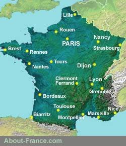
An interactive road map of France
Site
search
About-France.com
This is a website search, not a map search.
This is a website search, not a map search.
ZOOM IN to explore France in detail
Explore France down to village level, and check out national and local routes in detail with this interactive map. To save and print any detailed map, take a screenshot of the selected area and save it as an image.► Map markers: click any marker for more details, then follow the link.
► Motorways: France's main through-route motorways are shown in blue. Other motorways in red.
► For a static map of the
essential French national highway network, distinguishing between
toll-motorways, free motorways and other trunk routes, see Motorway map of France
► Click here to search for hotels B&Bs & apartments in France
► Click here to search for hotels B&Bs & apartments in France
 France in
fine detail... Please wait if detail is slow to load.
France in
fine detail... Please wait if detail is slow to load. Road numbers
Zooming in further will progressively show up more road numbers and the names of smaller towns and villages.Route
maps
with descriptions and hotels
- ►South & SW: routes via Rouen - E5, E9, E11
- ►Southwest : A10 Paris-Bordeaux - E5
- ►Southeast : A26 - routes via Reims - E17, E15
- ►Belgium to Normandy : A19 / A44 route
Routes
through France avoiding
tolls:
Options using minimal tolls;Website and content © About-France.com 2007 - 2026 except when otherwise indicated